Posts

Cost-Effective Aerial Imaging

Image
UAV’s, or Drones as they are often called, have exploded into geospatial applications over the past few years. They offer a cost effective method to deploy and capture imaging that can be processed using photogrammetric methods to generate such diverse deliverables as DEM’s, volumetric analysis or simple images that can be used to record progression of construction projects or lifecycle status of infrastructure.
Celebrate GIS Day 2017

Image
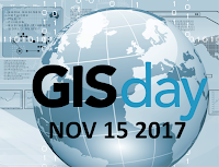
Originally started in 1999, GIS Day encourages the education of geography and the uses of GIS. Intended to be a grassroots initiative to display and highlight the practical use cases of GIS technology. GIS has enormous hidden potential to increase productivity in every facet of our lives, from finding the most optimal route home to solving complex societal problems such as governance.

New 2017 Orthophoto Imagery Added

Image
In preparation for the Winter, we are excited to announce the addition of new 2017  orthophoto data .   This updated data is now available across all of our services. Whether you are a user of VuMAP or MapCast you can now access the  imagery as part of your subscription. 

Digital Globe: Satellite Imagery Sale

Image
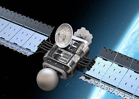
DigitalGlobe - Ontario Archives With the most sophisticated commercial satellites in orbit, tap into the advantages of Satellite Imagery from DigitalGlobe. With the largest historical library, highest locational accuracy, largest collection capacity, and highest resolution, DigitalGlobe is trusted by more then 40 governments and countless innovative companies to deliver mission-critical imagery.

How Property Owners Can Prepare Against Floods

Image
How prepared is Toronto to handle flooding? This Spring season has not been very kind to the GTA. We’ve seen a large amount of flood warnings, and substantial amounts of rain in the GTA. Was this season just an anomaly or can we expect further rainfall in the future? What is your government doing to anticipate and prevent further flood related damages to your property?